
Murciélagos Arete, Peak Aspe, Candanchú, Spain

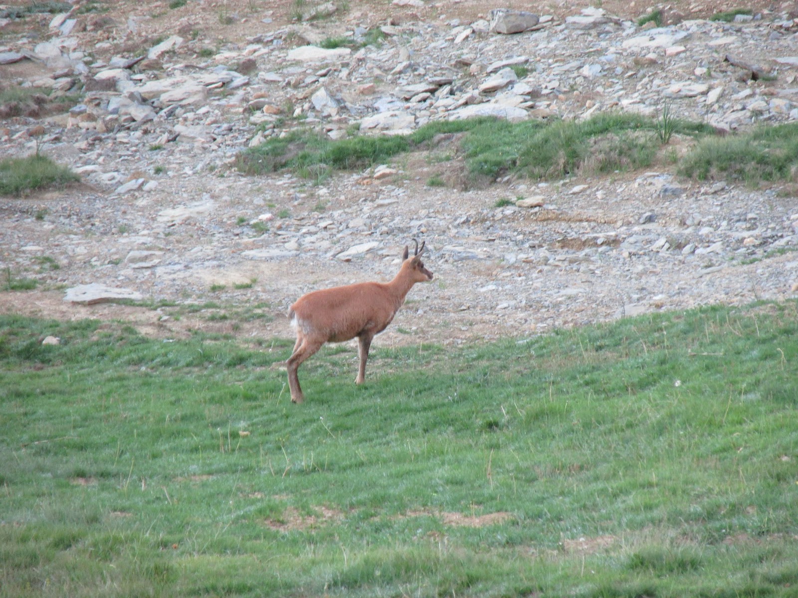
En torno a las 6 salimos desde el aparcamiento de Candanchú hacia Tortiellas, subimos por las pistas de esquí hasta llegar al primer collado, donde cogimos el camino de Tortiellas a la Tuca. Una vez en el collado seguimos la pista de la Tuca, y tras pasar por debajo de la silla de la Tuca cogimos el paso de la subida normal del Aspe. Dejamos el camino cuando este se encuentra más o menos en la base del Aspe, y subimos por la parte izquierda de la montaña hasta el collado de la Garganta de Aisa.
At about 6 am we left from Candanchú's car park to "Tortiellas", we walked up through the skiing pistes until the first hill, where we took the "Tortiellas path" to the Tuca. Once on top of the hill, we followed the track to the Tuca, and just after we passed under the chairlift we took the traditional track to the Aspe. We left the path more or less at the base of the mountain, then we walked up the left side of the mountain until we got to the hill Garganta de Aisa.


Vía:
Route:

La primera placa tiene varios pitones que marcan el itinerario (max IV), acaba en una zona más tumbada, que subimos caminando hasta la base de la aguja Dondestastu.
Route:

La primera placa tiene varios pitones que marcan el itinerario (max IV), acaba en una zona más tumbada, que subimos caminando hasta la base de la aguja Dondestastu.
The first slab has some pitons on the wall to indicate the route (max IV), it ends on a much flatter area, that we walked up to the base of the "Dondestastu needle".
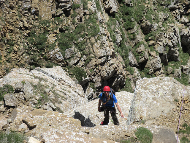
Atacamos la aguja por un pequeño diedro-chimenea sencillo y equipado con clavos, hay a una reunión a pocos metros de la cima, pero continuamos hasta la cima donde encontramos la reunión entre los bloques.
We attacked the needle through a small and easy dihedral equipped with pitons, there is a belay station a few meters down from the top, but we continued to the top, where we there is another one between the blocks.
We attacked the needle through a small and easy dihedral equipped with pitons, there is a belay station a few meters down from the top, but we continued to the top, where we there is another one between the blocks.
Desde aquí, destrepamos unos metros hasta la horquilla que da comienzo al largo más vertical de la vía.
From here, we downclimbed a few meters until the base of the most vertical slab in the route.
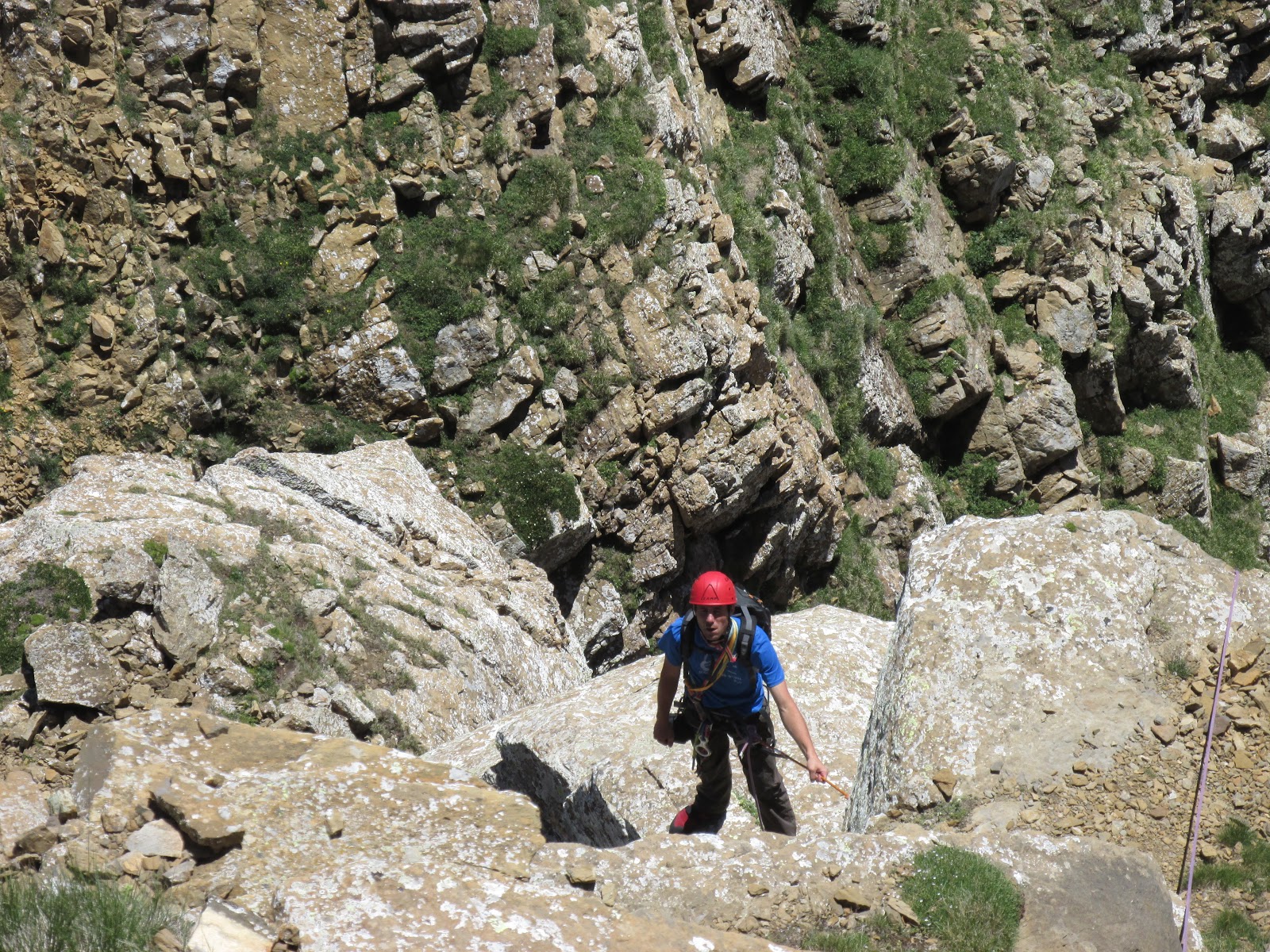
El largo es un muro aparentemente liso, (IV, clavos), con tendencia a la derecha hasta coger un canal más descompuesta que nos deja en la cima. Reunión en la cima con lazos, (largo muy bonito y con ambiente).
The slab looks smoother than it really is (IV, there are some pitons), it tends to the right until it gets to a quite broken groove. The belay station is at the top.
Continuamos por una cresta fácil, pero con muy bonitas vistas, hasta llegar a una instalación de rápel, de menos de unos 15 metros.
We carried on over an easy arete, where there is a great view of the Pyrenees, until we got to a less than 15 metres abseil point.
Después del rápel, hicimos otro largo (III/IV) que acaba en la base del gran contrafuerte final del Aspe, donde esta la reunión.
After the abseil, we climbed another slab (III/IV) which ends at the base of Aspe's great counterfort, where the belay station is.
Seguimos por la derecha, hasta llegar al pie de un pequeño resalte desplomado, protegido con cordino y clavo, donde hacemos reunión (V).
We continued to the right until we got to the base of an overhung slab, protected with a trap and a piton, we set the belay station there (V).
Superado el paso más difícil, solo queda una cresta por una amplia canal descompuesta (III), que va en travesia hacia la derecha hasta encontrar una arista, desde la cual se ve la cima, un pequeño destrepe y una trepada por la cresta, nos deja en una pequeña brecha para pasar a la cima principal.
Once done the hardest part of the route, there is only left a large and broken groove, which goes in traverse to the right, until it gets to an arete, from where the summit is finally visible. From the arete, there is a small downclimb to the arete of the summit.
Descendimos por la vía normal del Aspe.
We descended for the traditional track to the Aspe.


No hay comentarios:
Publicar un comentario